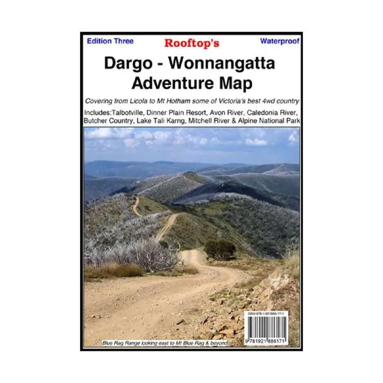
Dargo - Wonnangatta Adventure Map – 3rd Edition
Set out on a thrilling 4WD adventure with the Rooftop Maps Dargo - Wonnangatta Adventure Map. This double-sided map is your key to exploring some of Australia’s most remarkable off-road terrain. From Licola to Mt Hotham on one side, to the captivating trails between Dargo and Crooked River on the other, this map ensures you never miss a moment of adventure.
Features
- Highly detailed 4WD tracks for off-road enthusiasts
- Coverage of national parks and rugged wilderness areas
- Camping areas marked for your outdoor stay
- GPS-surveyed roads and tracks for precise navigation
- Durable waterproof paper for reliable use in any conditions
Key Specifications
- Edition: 3rd
- Publication Date: 01/04/15
- Folded Size (WxHxD): 150mm x 255mm x 4mm
- Flat Size (WxH): 700mm x 1000mm
- Weight: 0.09kgs
This map is the ultimate companion for discovering the hidden gems of the Dargo and Wonnangatta regions. Whether you’re exploring the rugged heights of Mt Hotham or uncovering the beauty of Crooked River, the Rooftop Maps Dargo - Wonnangatta Adventure Map offers the precision and detail needed for a safe and rewarding journey.
About the Publisher:
Rooftop Maps is a trusted name among outdoor enthusiasts, known for their accuracy and attention to detail. Their maps are crafted to meet the needs of adventurers, ensuring every journey is navigated with confidence and ease. This map is a reliable guide for all your 4WD and camping adventures in Australia’s wilderness.


")


")
